

Mission: Solar Panel Install
Subject: Solar Panel Clusters
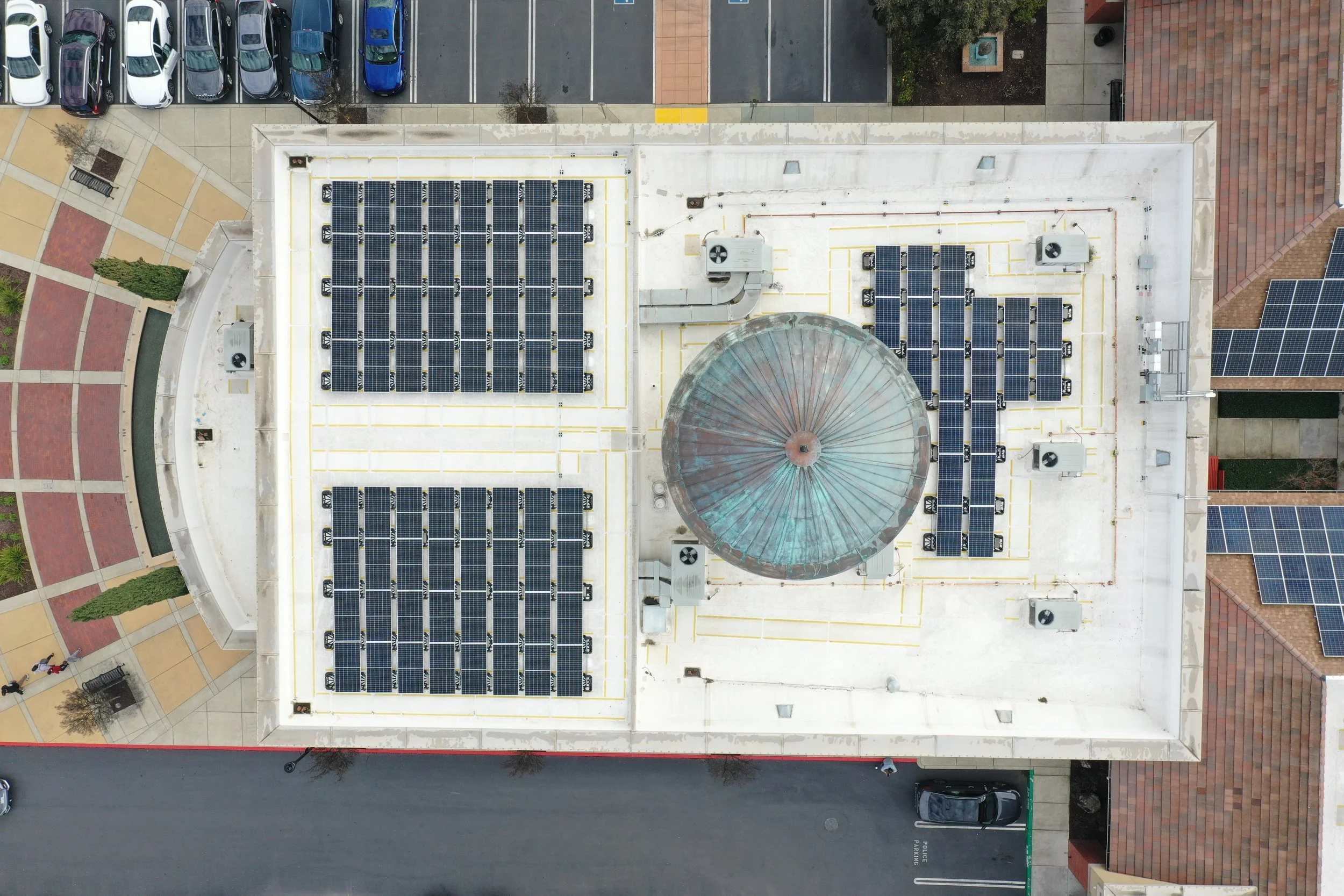
Where: 3231 Main St. Oakley, California (City Hall)
What was needed: 8 Images of solar panels after installation from an aerial view.
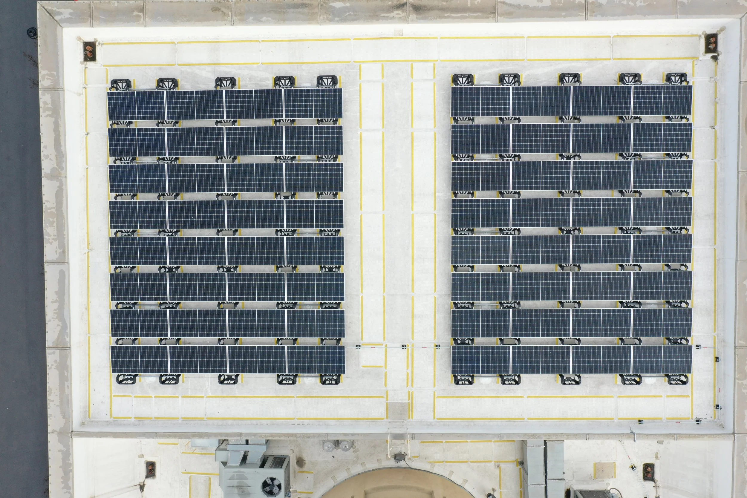
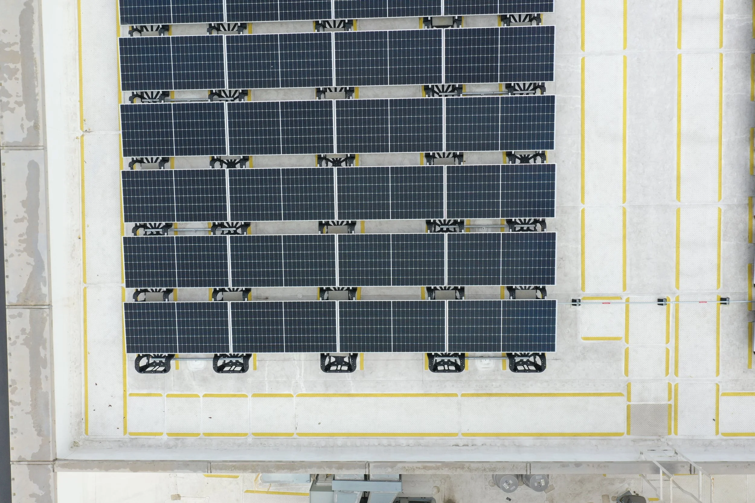
Provided: 1 Overall Perspective of 2 solar clusters, close-up images of clusters broken down for closer solar panel inspection.
Commissioned by: Zeitview.
Drone used: DJI Mavic 2 Pro
Final thoughts: This was a quick and easy drone project. When the request came in from Zeitview I immediately took it, as the City of Oakley is close to me. When I arrived at the site, I parked on a quiet adjacent street to see my drone with a visual line of the site without worrying about flying in a busy parking lot. This project did not require autonomous flying, so flying was done manually. I was curious about the solar panel cluster closer to the dome and if I could get it with DJI sensors that do not allow the drone to get too close. However, after a lot of warnings from the drone's avoidance, I was able to get the image. The client was pleased with the outcome, and I got my first flight with Zeitview. Win-win.


We would love to work with you on your next project if you are interested in drone data collection in Northern California. Contact us!